
Living with Fire
History of Fire
History of Fire in Our Region
Chelan and Douglas counties are among the most fire-prone places in the United States.
That isn’t a temporary condition—and it isn’t something we can engineer away or walk away from. We live in an active fire environment.
Fire has always been part of this landscape. Before European colonists arrived, our region was populated with many Indigenous people, the Wenatchi also known as the P’Squosa people, who lived safely with fire and used fire to create healthy landscapes and for the provision of food and material resources. What has changed is how people live here now and how many people live here. Lacking this active fire, much fuel has built up over time, and forests have become dense with layered canopies. So today they burn easily and fires often become severe. It is important to understand this history, because living safely in North Central Washington means accepting a simple truth: we live in a fire environment and actively managing fire risk is part of living here.
A Landscape Built to Burn
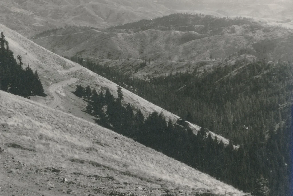
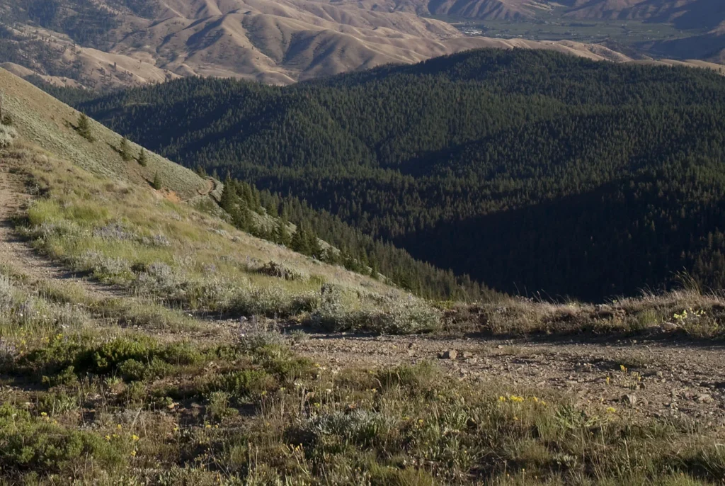
The shrub-steppe hills above the Columbia River, the pine, Douglas-fir, and western larch forests on the east slope of the Cascades, and the river corridors that tie them together all evolved with fire. Hot, dry, and windy summers, and fire-adapted vegetation are not anomalies—they are defining features of this place.
Most native plants of dry and moist mixed conifer forests are adapted to fire, others thrive when fire clears out dense undergrowth and returns nutrients to the soil. Fire didn’t just affect trees—it created grasslands and meadows, wildlife habitats and their networks, river corridors and active floodplains, and the overall health of one connected ecosystem.
This natural fire behavior is one reason why our region ranks among the highest in wildfire risk nationwide. It’s not because something is “going wrong”—it’s because this is a fire-adapted landscape.
Indigenous Fire Stewardship: Fire as Care, Not Crisis
Indigenous peoples across the Columbia Plateau and Cascade mountains and foothills used fire intentionally for generations. Fuels were burned off in spring and fall before they accumulated, making the people safer in the hot dry summer months.
Cultural burning supported food supplies, improved hunting grounds, reduced dense fuels, maintained travel and trading corridors, and husbanded culturally important plants, fish, and animals. These practices were sophisticated and deeply connected to seasonal cycles, local ecosystems, and Indigenous community needs.
This cultural burning helped keep landscapes more open and clear from dense vegetation and resilient. Often 40-50% of any large landscape area was burned or recovering from fires. Intentionally lit fires happened each year, and many were low or moderate severity—meaning they reduced overgrown vegetation without destroying entire ecosystems. Dense forests were considered “weedy” and an enemy of food production. By removing live trees and clearing out the understory brush, water, nutrients, and sunlight became available for the tending of culturally important plants and animals. Fire functioned as a “medicine” that created and maintained healthy forest understories keeping the forests, grasslands, meadows, wetlands, and river systems in an interconnected mosaic.
When Fire Was Removed, Risk Increased
European settlement brought a very different relationship with fire. By the early 1900s, fire suppression had become the dominant strategy. Fires were put out quickly and consistently, often before they could spread.For a time, this felt like success. Communities expanded. Timber resources were protected. Fire became something people expected not to see. In this time, logging of large older trees led to forests filled with smaller shade-loving fire-intolerant trees, increasing density and creating more dangerous forest fire conditions. When large older trees were removed, smaller, thin-barked, and shade loving trees filled in the gaps.
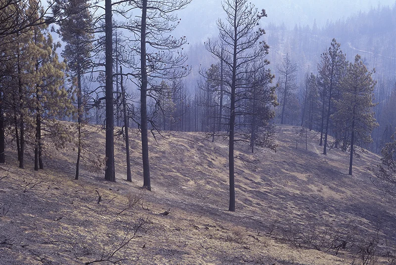
Without regular fire, vegetation continued to grow and die back. Forests became denser. Fuels accumulated on the ground and in the canopy.
Over time, this set the stage for fires that burn hotter, spread faster, and are harder to control.
Credit: National Archives
Credit: John Marshall
Fire in Our Lifetimes:
What This Risk Looks Like
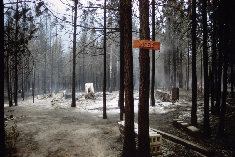
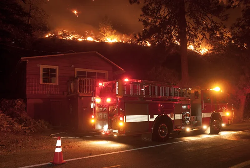
People in Chelan and Douglas counties have experienced this shift firsthand.
Lightning ignites a series of fires in the Entiat and Chelan mountains
Several homes along the Entiat valley were lost, and many more in the town of Ardenvoir were threatened. Over 100,000 acres burned in Chelan and Okanogan counties.
1970
Credit: John Marshall
Tyee Creek, Hatchery Creek, Rat Creek, Round Mountain
2,700 homes were threatened and evacuated, 37 homes and 76 structures lost. 180,000 acres burn.
1994
Chelan Complex, Wolverine, Sleepy Hollow, Douglas County Complex
2015 was the highest recorded number of acres burned in a fire season to-date. 100 structures were lost; 33 of those were homes in the Broadview neighborhood on the west side of Wenatchee.
2015
—these weren’t isolated events. They were warnings.
More recent fires, such as the Cougar Creek Fire (2018), the Pearl Hill Complex (2020) and the Pioneer Fire near Stehekin (2024), showed how quickly fire can threaten evacuation routes, homes, and entire communities.
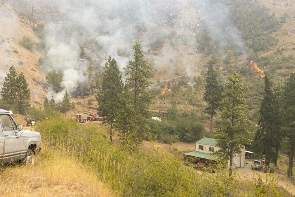
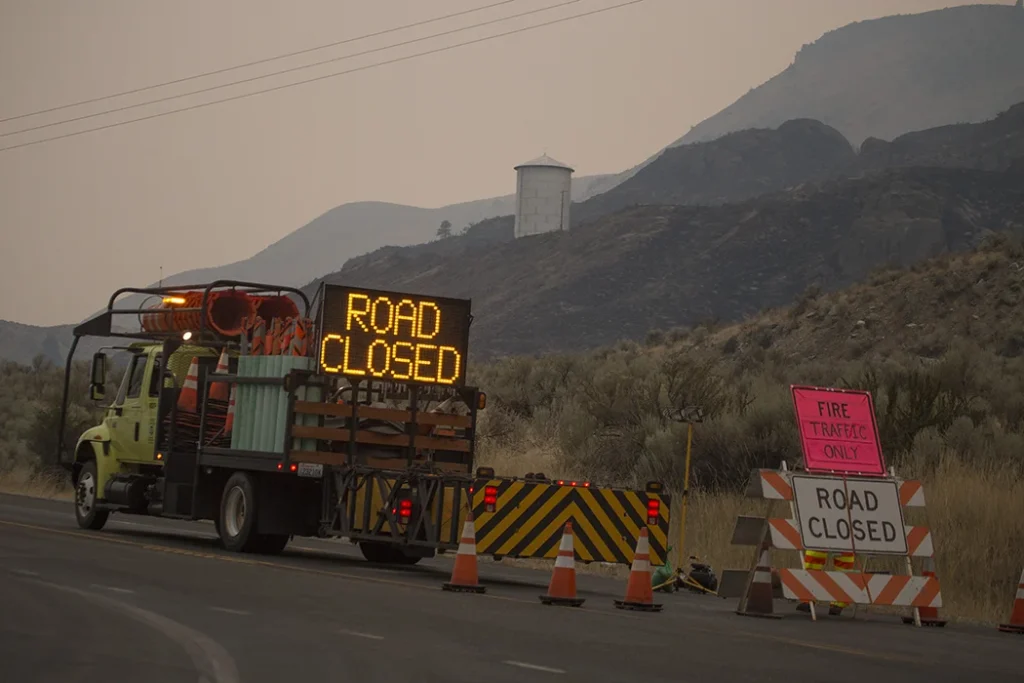
Some of our towns consistently rank among the highest wildfire-risk communities in the country. That doesn’t mean disaster is inevitable—but it does mean fire danger here is real, persistent, and nationally significant. And we need to learn to live with it in a safe way
Fire Today:
Frequency, Severity, and Change
Two ideas help explain what we’re seeing today:
01
Frequency — how often fire occurs
02
Severity — how intensely it burns
Historically, many parts of this region experienced fire more frequently but at lower intensity. Today, long periods without fire, combined with warmer, drier conditions due to declining snowpack and warmer winters has increased the duration and intensity of fire seasons. In the interior of Washington, forests generally live where the snow pack occurs because snowmelt provides the time released water needed for their growth and development.
With more people living in fire-prone areas in the Wildland Urban Interface (WUI), these larger fire events can threaten lives, destroy homes, degrade air quality, and reshape landscapes for decades. They’re not just ecological events—they’re community events.
Why This History Matters Now
Understanding fire history isn’t just about the past. It explains why wildfire risk is high today—and why personal and community action matters.
Living in Chelan and Douglas counties means living in a continuously fire-adapted place. That comes with responsibility: to understand the risk, to prepare our homes and neighborhoods, and to make informed choices about where and how we live. It also comes with the responsibility to be an advocate for responsible forest and fire management – to change the way fires can come to our communities.
Our landscape has always burned. The question isn’t if fire will occur—it’s how prepared we are when it comes.
Credit: North Forty Productions